
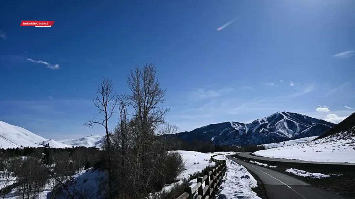
A winter storm warning has been issued for parts of the northwestern United States, where forecasters say a strong system could bring heavy snowfall of up to two feet in higher elevations this weekend. The unusual late-June weather is expected to affect mountain regions in Idaho, Montana, and Wyoming, creating hazardous travel conditions and limiting access to backcountry areas.
The National Weather Service says snow is likely to begin Saturday night and continue into Monday morning, with the most significant accumulations expected in elevated terrain above 6,500 feet.
Storm
Meteorologists report that the system will primarily impact mountainous regions, where cold air and moisture are combining to produce wet, heavy snow. While lower elevations are expected to see rain or minimal accumulation, higher passes and peaks could see substantial snowfall.
The warning comes during a period when most of the United States is focused on summer conditions ahead of the Fourth of July holiday, making the contrast in weather patterns particularly notable.
Forecast
The National Weather Service office in Great Falls, Montana, said snowfall will continue through the weekend into early Monday. Officials have advised that conditions may deteriorate quickly once the system moves into the region.
Forecast models indicate that some areas could see significant variation in totals depending on elevation and terrain exposure.
| Location | Expected Snowfall |
|---|---|
| Georgetown Lake (MT) | Up to 24 inches |
| Bitterroot & Sapphire Mountains (MT) | Up to 12 inches |
| Nez Perce Pass (ID/MT) | Up to 12 inches |
| 4th of July Peak (ID) | Up to 10 inches |
| Gannett Peak (WY) | Up to 12 inches |
Impact
The primary concern is travel safety in high elevation areas, where roads, trails, and passes may become difficult or impossible to navigate. Officials warn that heavy, wet snow could also bring down trees and block access routes in remote regions.
The National Weather Service has advised against unnecessary travel in affected backcountry areas and urged those planning trips to consider delaying departure until conditions improve.
Safety
Authorities are recommending that anyone who must travel in the region prepare for winter driving conditions, including carrying emergency supplies such as chains, blankets, flashlights, food, water, and first aid kits.
Officials also warned that exposure risks increase significantly in these conditions, particularly for hikers, campers, or travelers unprepared for sudden cold and snowfall at higher elevations.
Hypothermia is a concern due to low temperatures combined with wet snow and wind exposure in exposed terrain.
Conditions
The storm is expected to remain in place through Monday morning before gradually weakening. However, lingering cold air may continue to affect higher elevations even after snowfall ends.
Because of the timing and elevation-specific nature of the system, conditions may vary widely within short distances, with valleys seeing relatively mild weather while nearby peaks experience full winter conditions.
Outlook
Forecasters say the system is part of a broader pattern of unstable weather across the western United States. While such late-season mountain snowfall is not unprecedented, it is uncommon at this time of year and can still disrupt travel and outdoor activities.
Officials will continue monitoring the storm as it develops and update warnings if conditions worsen or expand into additional areas.