
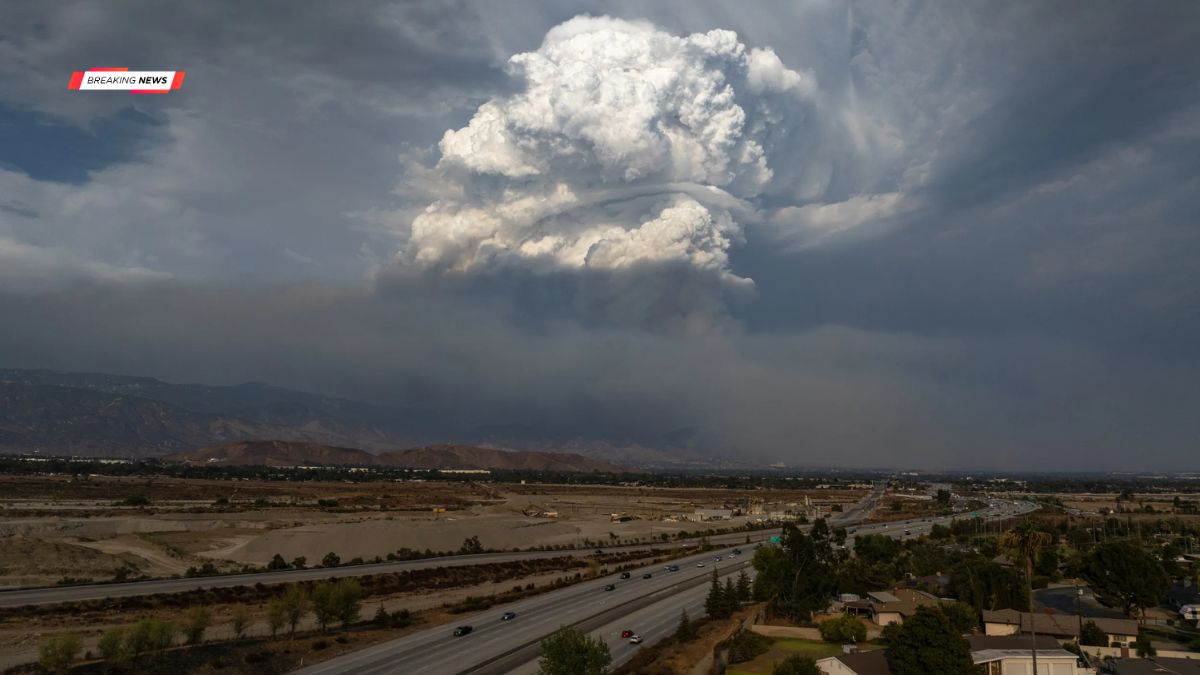
Arizona is expected to experience several days of active monsoon weather as widespread thunderstorms develop across much of the state. According to the Arizona Weatherman, Monday and Tuesday are forecast to bring numerous thunderstorms, with some capable of producing severe weather. Looking ahead, a developing tropical system in the eastern Pacific could send additional moisture into the Southwest later this week, increasing storm chances across Arizona.
Forecast
Thunderstorms are expected to begin forming over the Mogollon Rim around midday before spreading into lower elevations during the afternoon and evening. While storms are forecast across much of Arizona, some areas have a higher likelihood of experiencing severe weather.
The strongest storms may produce wind gusts exceeding 60 mph, blowing dust, hail up to one inch in diameter, and localized flooding.
Monday
On Monday, isolated severe thunderstorms are most likely across the following counties:
| Monday’s Higher Risk Areas |
|---|
| Southern Coconino |
| Yavapai |
| Gila |
| Maricopa |
| Pinal |
| Pima |
| Cochise |
| Santa Cruz |
Storms are expected to move off the Mogollon Rim during the afternoon and early evening. Gusty outflow winds and blowing dust may accompany stronger storms. While thunderstorms could develop near the Phoenix metropolitan area, current projections suggest central Phoenix may receive little or no rainfall.
Tuesday
Thunderstorm activity is expected to remain widespread on Tuesday, with the focus for severe weather shifting slightly.
| Tuesday’s Higher Risk Areas |
|---|
| Northern Mohave |
| Southern Coconino |
| Yavapai |
| Gila |
| Pinal |
| Pima |
| Cochise |
| Santa Cruz |
As on Monday, storms may develop around the Phoenix area while the city itself could miss out on significant rainfall.
Hazards
Residents should remain alert for rapidly changing weather conditions during the afternoon and evening hours.
Potential impacts include:
| Possible Weather Hazards | Details |
|---|---|
| Strong wind gusts | Over 60 mph |
| Blowing dust | Reduced visibility on roads |
| Hail | Up to 1 inch |
| Heavy rainfall | Localized flooding in some areas |
Tropical
Looking beyond Tuesday, forecasters are monitoring a tropical disturbance in the eastern Pacific that is expected to develop into Future Tropical Storm Elida within the next couple of days. Some forecast models indicate the system could strengthen into a hurricane while remaining offshore.
Current projections suggest the storm’s moisture will move north through the Gulf of California between July 15 and July 18. Although the system is not expected to move into Arizona directly, the tropical moisture could significantly increase atmospheric humidity across the state, helping recharge the monsoon and supporting more widespread thunderstorms later this week.
Forecasts involving tropical systems can change over time, so residents should continue monitoring updates from reliable weather sources.
Outlook
If the current forecast holds, Arizona could see an active stretch of monsoon weather through the second half of the week as tropical moisture combines with favorable atmospheric conditions.
While not every community will receive heavy rainfall, many areas could experience repeated rounds of thunderstorms, along with periods of strong winds, lightning, and localized flooding. Officials encourage residents to stay informed about changing weather conditions and be prepared for rapidly developing storms during the afternoon and evening hours.
FAQs
Which areas face the highest storm risk?
Parts of northern, central, and southern Arizona.
Will Phoenix receive heavy rainfall?
Current forecasts suggest rainfall may remain limited.
What hazards are expected?

Strong winds, dust, hail, and localized flooding.
Will Tropical Storm Elida hit Arizona?
No direct landfall is currently expected.
How could Elida affect Arizona?
It may bring tropical moisture that boosts monsoon storms.